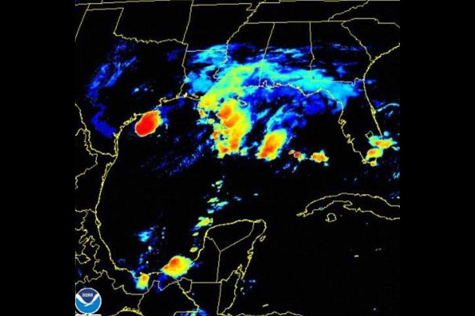
Tropical Storm Beta Kicks up 52 MPH Wind Gusts Overnight
Tropical Storm Beta made landfall late Monday evening and has begun its very slow crawl to the North and East. At 7 AM today the center of the storm was just 12 miles or so to the East of Victoria.
Strong winds of 40 MPH+ will be possible for the next 24 hours along with the chance for several inches of rain. While some areas may not see much, there is still a widespread threat for rain that could cause flooding in the Crossroads area. The following watches and warnings are still in effect for Victoria County and the immediate area:
- A Tropical Storm Warning
- A Flash Flood Watch until 7 PM tonight
- Coastal Flood Warning
Tropical Storm Beta was just 12 miles East of Victoria at about 7 AM this morning and will spend the next 24 hours moving towards the Bay City, West Columbia, Galveston area by midday tomorrow. This means Victoria County will continue to see the possibility for heavy rain and strong tropical storm winds for about the next 12-24 hours.
Rainfall for day two of the storm is greatly reduced according to this morning's update from the National Weather Service. Victoria could see another inch or two of rain today according to the latest outlook. Bring that umbrella with you today.


