Hurricane Laura Makes Landfall as a Category 4 Storm
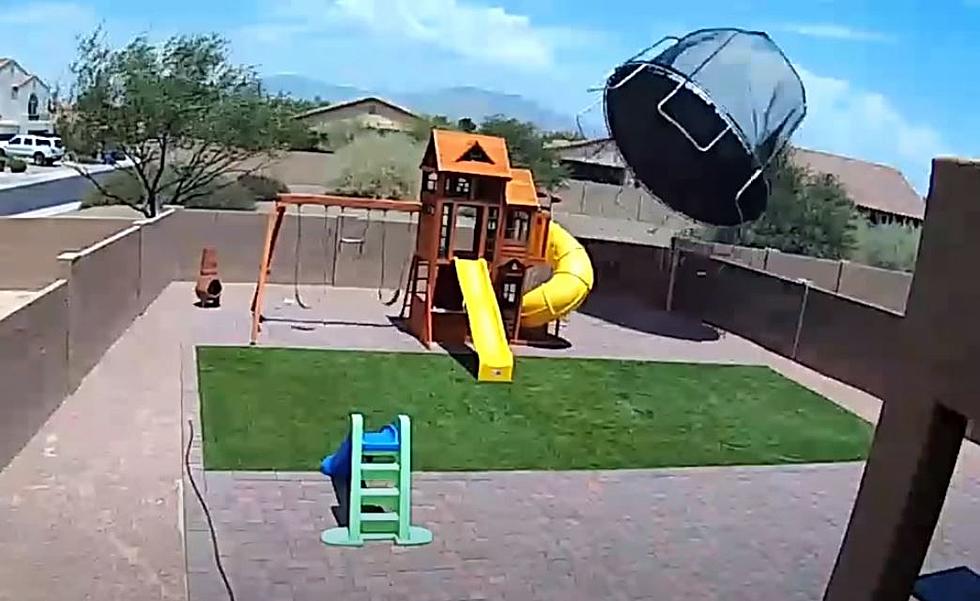
Hurricane Laura made landfall as a category 4 hurricane overnight bringing dangerous winds and an incredible storm surge to the Southwest Louisiana and Southeast Texas coast.
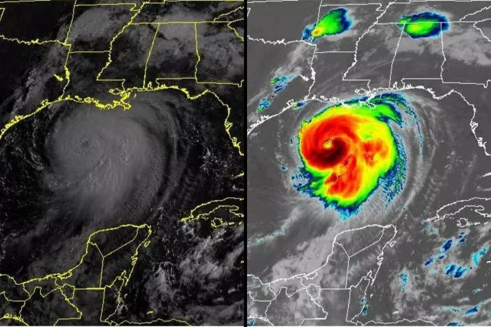
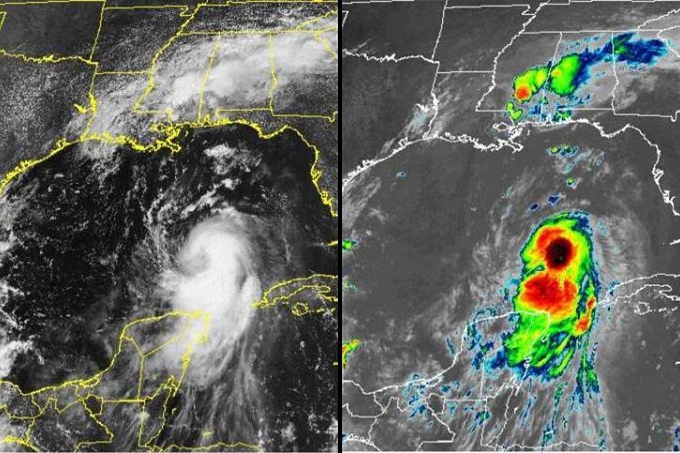
Laura is one of the strongest hurricanes to hit Louisiana in the last century. The eyewall of the hurricane was overland by 2 AM as reports of power outages and 100+ mph winds began to surface.

The National Ocean Service Tide Station at Calcasieu Pass, Louisiana observed a water level rise of 9.19 ft around 1:00 AM last night. The Lake Charles Louisiana Airport reported sustained winds of 85 MPH and gusts at 128 mph. The University of Florida has an observation tower in Lake Charles, Louisiana that reported a sustained wind of 86 mph and gusts up to 112 MPH. On the Texas side of the state line, the Texas Coastal Ocean Observing Network site at Sabine Pass reported sustained winds at 74 MPH and gusts up to 90 MPH.
Around 2 AM the storm was positioned about 40 miles east of Port Author and by sunrise today we will start to see some incredible photos of what the storm surge has done on the ground.
In Victoria and the Crossroads, a Heat Advisory will go into effect at noon today with heat index values from 110 to 114. To reduce risk during outdoor work, the Occupational Safety and Health Administration recommends scheduling frequent rest breaks in shaded or air-conditioned environments. Anyone overcome by heat should be moved to a cool and shaded location. Heatstroke is an emergency! Call 9 1 1.

TIPS: Here's how you can prepare for power outages
More From Q92