Rip Current Risks Increase as Tropical Storm Marco Approaches
After a weekend of watching Tropical Storm Marco and Tropical Storm Laura, the Monday morning updates have continued to shift the pathway of both storms to the East indicating that both storms will make a Louisiana landfall.
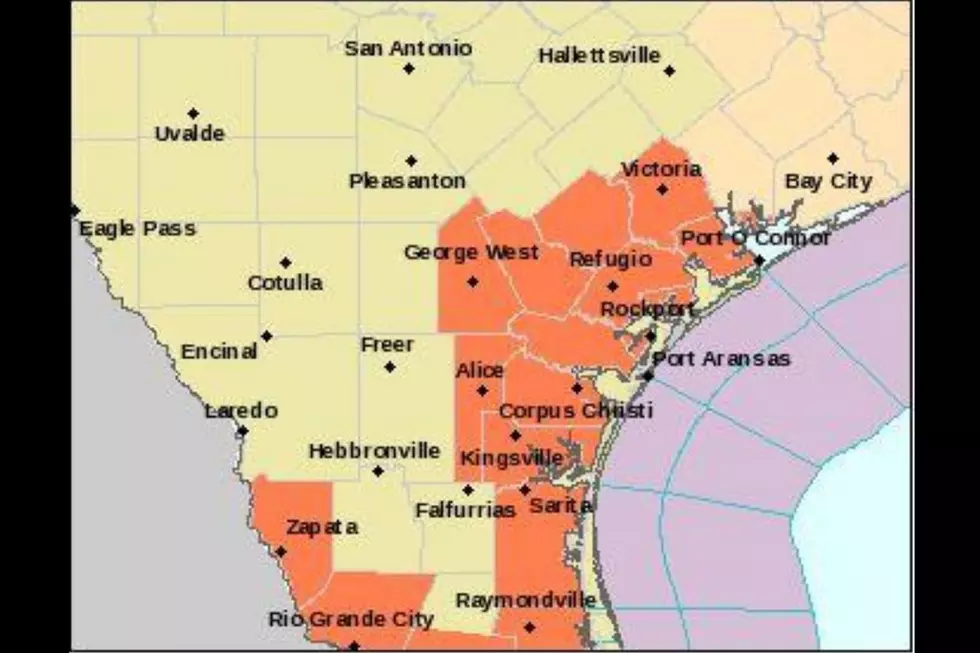
While the National Hurricane Center and the National Weather Service continue to watch the storms and work on forecasting wind and rain totals, one thing we can do in the Crossroads is to get the word out about an increased chance for Rip Currents as Tropical Storm Marco moves closer to the coast before spinning toward Texas.
Tropical Storm Marco is spinning to the Northwest at 10 mph with maximum sustained winds of 50 mph after weakening upon approach to the Louisiana Coast. This storm is far from finished as it will spin across the Louisiana coast and into Texas late Tuesday evening.
Tropical Storm Laura is responsible for 11 deaths in the Dominican Republic and Haiti according to Time and is now spinning into the Gulf of Mexico. Laura is moving West/Northwest at 21 mph with maximum stained winds at 65 mph.
Marco is expected to arrive on the Louisiana coast late tonight and spin westward along the coast before Tropical Storm Laura makes it's way to the Coast by late Wednesday. This means areas of Louisiana and Southeast Texas could be in large amounts of rainfall.
Our forecast in the Crossroads for Monday will be Partly Cloudy skies with high temps in the mid-90s. Expect heat index values to return again today and watch for an increased chance for rip currents at all gulf coast facing beaches today as Tropical Storm Marco approaches.

KEEP READING: Get answers to 51 of the most frequently asked weather questions...
More From Q92